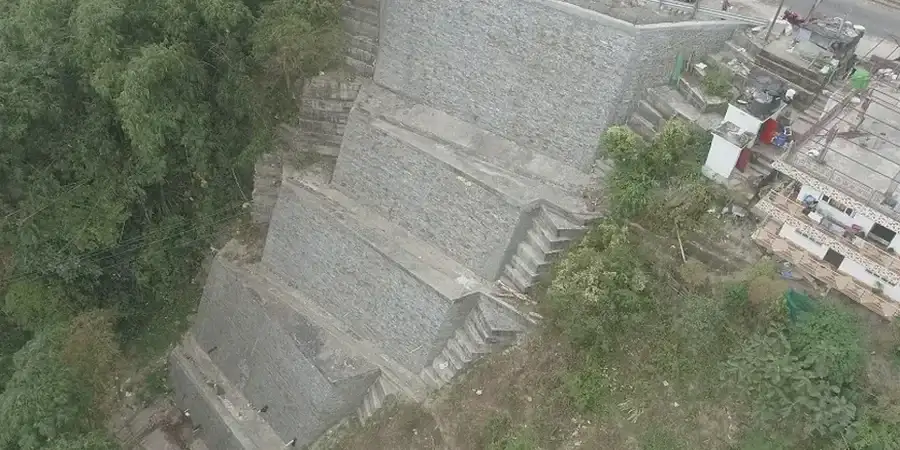
Ottawa's seismic hazard profile is often underestimated because it sits in a moderate-risk intraplate zone. But the 2010 Val-des-Bois M5.0 event and the NBCC 2020 revisions changed how we approach site response here. The city rests on a complex mix of Leda clays, glacial till, limestone bedrock, and buried bedrock valleys that can amplify ground motion in ways a generic code map cannot capture. That is where seismic microzonation moves from a regulatory checkbox to a project-critical decision tool. Our team has run microzonation campaigns across the National Capital Region—from Kanata's sensitive marine clays to the till-mantled slopes near the Rideau River—and we know the difference between a Class C assumption and what the shear-wave velocity profile actually says. When we combine MASW with borehole downhole surveys and resonant column testing on undisturbed specimens, we get a site period and amplification function that structural engineers can use directly for base shear calibration.
A Vs30 of 180 m/s in Ottawa's Leda clays does not mean the same thing as a Vs30 of 180 m/s in a Western Canada stiff till—the degradation curves are fundamentally different.